How Tropical Storm Bertha could affect Harris County, and how to prepare
Bertha put Harris County on a flood-and-outage alert, with officials urging residents to prep before rain bands, road flooding, and power loss narrow their options.

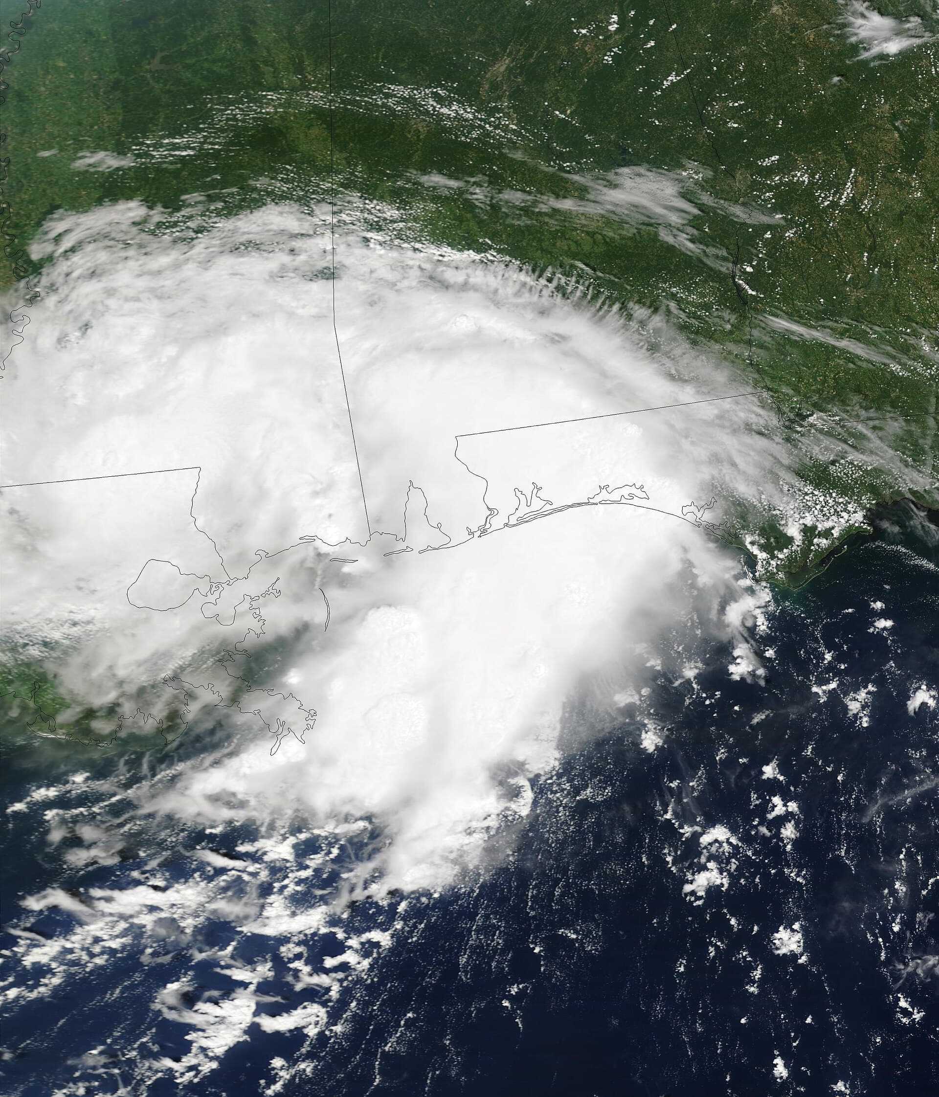
Bertha made landfall in Louisiana on Wednesday and was forecast to make another landfall in Texas on Thursday, a track that kept Southeast Texas in the storm’s orbit and made preparedness the immediate priority. For Harris County, that means fast-falling rain, flooded roads, power disruptions, and the kind of commute and school chaos that can spread across the county in a matter of hours.
What Bertha could mean for Harris County
The biggest local danger is not just the storm’s center, but what its rain can do to a county built around drainage channels, bayous, and sprawling suburban pavement. Heavy rain can overwhelm storm drains, strand drivers on flooded streets, and knock out power just long enough to affect people who rely on elevators, refrigeration, medical equipment, or vehicle charging.
That risk lands in a place already shaped by past disasters. The Harris County Flood Control District was created by the Texas Legislature in 1937 and is governed by Harris County Commissioners Court. Hurricane Harvey, Imelda, and other severe storms showed the “very real impact” more frequent and severe disasters have on the community, as Harris County Judge Lina Hidalgo’s flood-control page puts it.
Where the risk is highest
Flooding can hit hardest in low-lying neighborhoods, apartment complexes with ground-level or basement parking, and along routes where water collects faster than it can drain. In a county as large and varied as Harris, a tropical system does not have to be a major hurricane to become a household problem. Even a modest band of rain can stall over one part of town long enough to turn a familiar street into a dead end.
Interstate 10 and other major roads can become slow, slick, or impassable when tropical rain dumps faster than the pavement can drain. Drivers should expect ponding, reduced visibility, and sudden hazards near underpasses, feeder roads, and low-water crossings. The safest assumption in a storm like Bertha is that any road with standing water may hide deeper flooding than it appears to have from the driver’s seat.
What to do in the next 24 to 48 hours
Use the next day or two to close the gaps that become expensive after the rain starts. If your home or apartment sits in a flood-prone area, finish your prep before conditions worsen, not after water begins pooling in the street.
- Charge phones, tablets, laptops, battery packs, and any device you use for medical needs.
- Move cars out of low spots, especially street parking that floods quickly or garage levels known to take on water.
- Bring in patio furniture, trash bins, plant pots, and anything that can blow into windows or become a projectile.
- Check prescription refills now, and pack refrigerated medications with cold packs if an outage would affect them.
- If you use a generator, keep it outdoors and away from doors, windows, and vents.
- Check on older neighbors, disabled neighbors, and anyone who may not be able to get to a pharmacy or gas station once roads turn bad.
If an evacuation order is issued for your area, leave early. Waiting until floodwater is already rising can trap you in traffic or force a dangerous drive through water that looks shallow but is not.
Plan for outages, school changes, and service disruptions
Bertha’s local effect may show up first as a power problem rather than a headline storm damage event. Outages can interrupt window units, fans, cell service, and the refrigerated storage of insulin or other medications, which is especially risky in Houston’s heat. Parents should also plan for school, camp, childcare, and after-school program disruptions if rain bands intensify or roads become unsafe for bus routes and pickups.
Power loss can ripple into water service, traffic signals, and business hours too. That means errands that look easy in the morning can become difficult by afternoon, especially if the storm slows commutes across Houston and surrounding suburbs. Build the day around the idea that normal travel may not be normal once the first bands arrive.
Trusted local sources to watch
For Harris County, the most useful updates come from agencies that know the drainage system, the weather track, and the local response structure. Watch the Harris County Office of Homeland Security & Emergency Management as it monitors Bertha’s course, and follow the National Weather Service Houston/Galveston for forecast updates and the official 2026 Southeast Texas Hurricane Guide. The National Hurricane Center remains the national source for storm-track and intensity information.
For neighborhood-level flood safety, the City of Houston Police Department maintains severe-weather and flooding preparedness resources, including a “Turn Around Don’t Drown” brochure. Houston OEM also keeps hurricane and tropical storm preparedness information for residents.
Atlantic hurricane season runs from June 1 through Nov. 30.
This article was produced by Prism’s automated news system from verified source data, official records, and press releases, then run through automated quality and moderation checks before publishing. The system is built and supervised by the people who set the standards it runs under. Read our full AI policy.
Did this article answer your question?