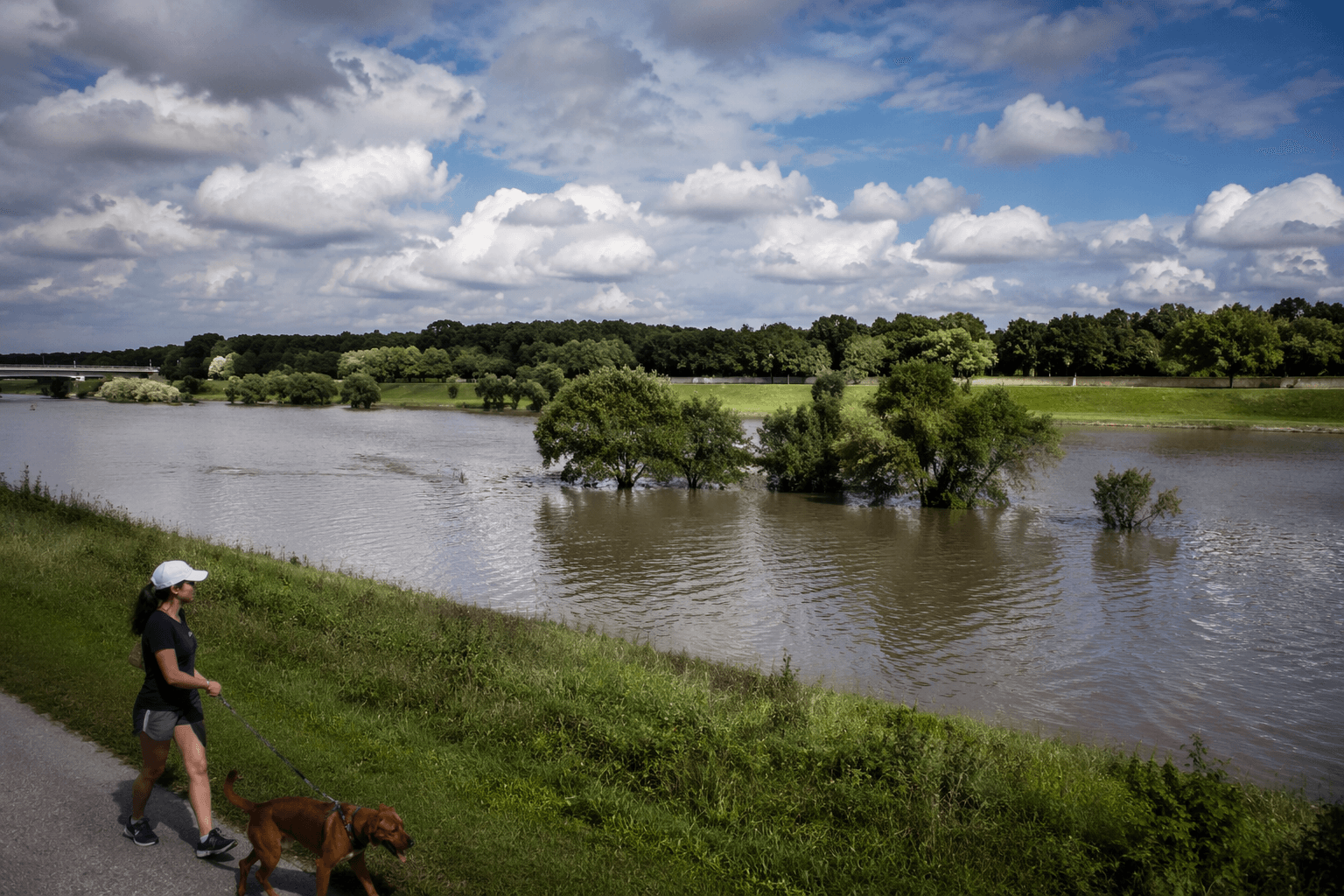
Heavy rain in Harris County does not just test bayous; it tests the parks that have been built to hold water. The county says it has 158 Harris County parks, and there are 826 parks within the county’s boundaries overall, but four sites show the clearest link between public space and flood protection: George Bush Park, Bear Creek Pioneers Park, Arthur Storey Park, and John Paul Landing Park. Together they show why these acres are more than scenery, because they absorb runoff, store stormwater, and give nearby neighborhoods a buffer when the rain comes hard.
A park system that doubles as infrastructure
Harris County Flood Control District says major floods occur somewhere in the county about every two years, which is why the county’s open land carries real public value beyond recreation. Project Brays offers the scale of what traditional flood-control work can require: it was completed in 2022 after roughly 40 years, cost $480 million, and included four stormwater detention basins totaling more than 800 acres. That kind of investment matters, but the county’s parks show a different model, one where flood detention sits inside spaces residents already use for sports, walking, and family gatherings.
The Houston area’s most visible flood-control assets are often channels, pumps, and basins hidden from daily life. These parks take another route. They make stormwater storage visible and multiuse, so land that might otherwise sit empty between storms becomes a place where people can run, fish, play, and still leave room for water when a storm overwhelms the system.
George Bush Park: reservoir land with room to absorb rain
George Bush Park is the headline act in Harris County’s park system. The county describes it as a 7,800-acre park inside Barker Reservoir, with 11.36 miles of hike-and-bike trails, large soccer and softball fields, dog parks, an equestrian trail, a model airplane field, and reservable pavilions. Its baseball fields are temporarily closed for construction, a sign that the site is still being reinvested in rather than left static.
The location inside Barker Reservoir is the detail that changes how the park should be read. This is not just a large recreation area in west Houston; it is part of the broader flood-control landscape that helps manage heavy runoff in a region where stormwater can move quickly and overwhelm local streets. Harris County Precinct 4 places the park at 16756 Westheimer Parkway in Houston, making it both a regional destination and a working piece of public infrastructure.
Bear Creek Pioneers Park: sports fields, habitat, and memory
Bear Creek Pioneers Park shows a different kind of county-scale space. At 2,154.6 acres, it includes more than 2 miles of trails, 18 baseball and softball fields, 26 soccer fields, an aviary, Scout camping, an equestrian trail, pickleball, and the Harris County War Memorial. The memorial was built in 1985 to honor known county residents who died in World War I and later wars, which gives the park a civic purpose that extends beyond games and picnics.
The park also sits in the Addicks Reservoir area, tying it to the same flood landscape that shapes much of west Harris County. Its wildlife habitat adds another layer. Precinct 4 says the habitat opened in the late 1970s after then-Commissioner Bob Eckels took in two bison donated to the county, a choice that turned part of the park into an early experiment in public wildlife display and habitat management. That mix of open land, sports use, and habitat makes Bear Creek one of the county’s most layered public spaces.
Arthur Storey Park: a detention basin you can walk around
Arthur Storey Park is the clearest example of flood control and recreation sharing the same footprint. The county says the park’s stormwater detention basin can hold about 1.15 billion gallons, a number that matters because it translates directly into flood risk reduction for thousands of residents and businesses along Brays Bayou. The park itself is 175 acres, with 3.31 miles of trails, four playgrounds, two gazebos, a Kid Fit park, 23 benches, a drinking fountain, 17 picnic tables, and a gazebo overlooking the water.
That combination is the point. This is not a drainage ditch with a sidewalk attached; it is a park built around an enormous storage function, then layered with amenities that make it usable on dry days. Harris County is still adding to the site, including a new artisan pavilion, which shows that the park continues to evolve even after its flood-control role is established.
John Paul Landing Park: a growing water-storage landscape
John Paul Landing Park pushes the same idea farther west. The park covers 876 acres and includes a lake that spans over 200 acres and serves as a flood detention basin. It also adds an Environmental Education Center, fishing, wildlife habitat, picnic areas, playgrounds, and wetland space, making it one of the county’s strongest examples of land serving both environmental and recreational needs.
The county says the third and final phase of the park’s stormwater detention basin was completed in March 2025, after years of work. The expanded wetland area connects directly to Langham Creek and adds detention capacity that helps reduce flood risk for nearby residents, which is exactly the kind of downstream benefit taxpayers should expect from a major public works investment. Another county update says the site now offers nearly eight miles of trails, three playgrounds, a nature center, and more than 850 acres of greenspace and wetland.
The Environmental Education Center at 9950 Katy Hockley Rd. in Cypress is open Tuesday through Saturday from 8 a.m. to 5 p.m., and the southeast portion of the lake is now open to recreational non-motorized boaters. Those details matter because they show the park is not just a basin on a map; it is open, used, and tied to the surrounding community.
What these parks mean when storms hit
These four parks help explain how Harris County spends land and money when it plans for water. George Bush Park and Bear Creek Pioneers Park sit inside reservoir landscapes that can absorb storm impacts across western Harris County, while Arthur Storey Park and John Paul Landing Park make detention capacity part of their design rather than an afterthought. Compared with a channel or culvert alone, a park-based basin delivers a second return on public dollars: usable land, sports fields, trails, habitat, and stormwater storage in the same place.
Precinct 4 says it maintains nearly 100 miles of trails across its park system, and pavilion reservations are required at several major parks, including Bear Creek Pioneers Park, George Bush Park, John Paul Landing Park, and Arthur Storey Park. That is what makes these places so central to county life: they are where residents walk, practice, gather, and watch kids play, but they are also where the county stores water when the weather turns. In a flood-prone county, that is a utility as real as any pipe, pump, or basin built beneath the street.
Every story on Harris County, Texas News is assembled by an automated editorial system that works from verified research, official records, and credible reporting, then clears automated accuracy and moderation checks before it goes live. The standards that system follows are set and overseen by the people who run the publication. Read our full editorial policy.
Did this article answer your question?

