Study says federal flood maps miss 200,000 Harris County properties
More than 200,000 Harris County properties may sit outside FEMA flood maps even though a Texas A&M study flags them as high risk, raising costs for homeowners.

A Texas A&M University analysis flags more than 200,000 Harris County properties as high flood risk even though they are missing from FEMA’s official maps. That gap can affect whether a buyer trusts a neighborhood, whether a lender requires insurance and whether local officials steer drainage money to the right places.
The analysis builds on work at Texas A&M’s Institute for a Disaster Resilient Texas and maps flooding across Harris County beyond the federal lines many residents still rely on. Researchers developed a new tool after Hurricane Harvey in 2017, when floodwater showed how quickly risk can spread through a county shaped by flat land, heavy paving and changing drainage patterns.
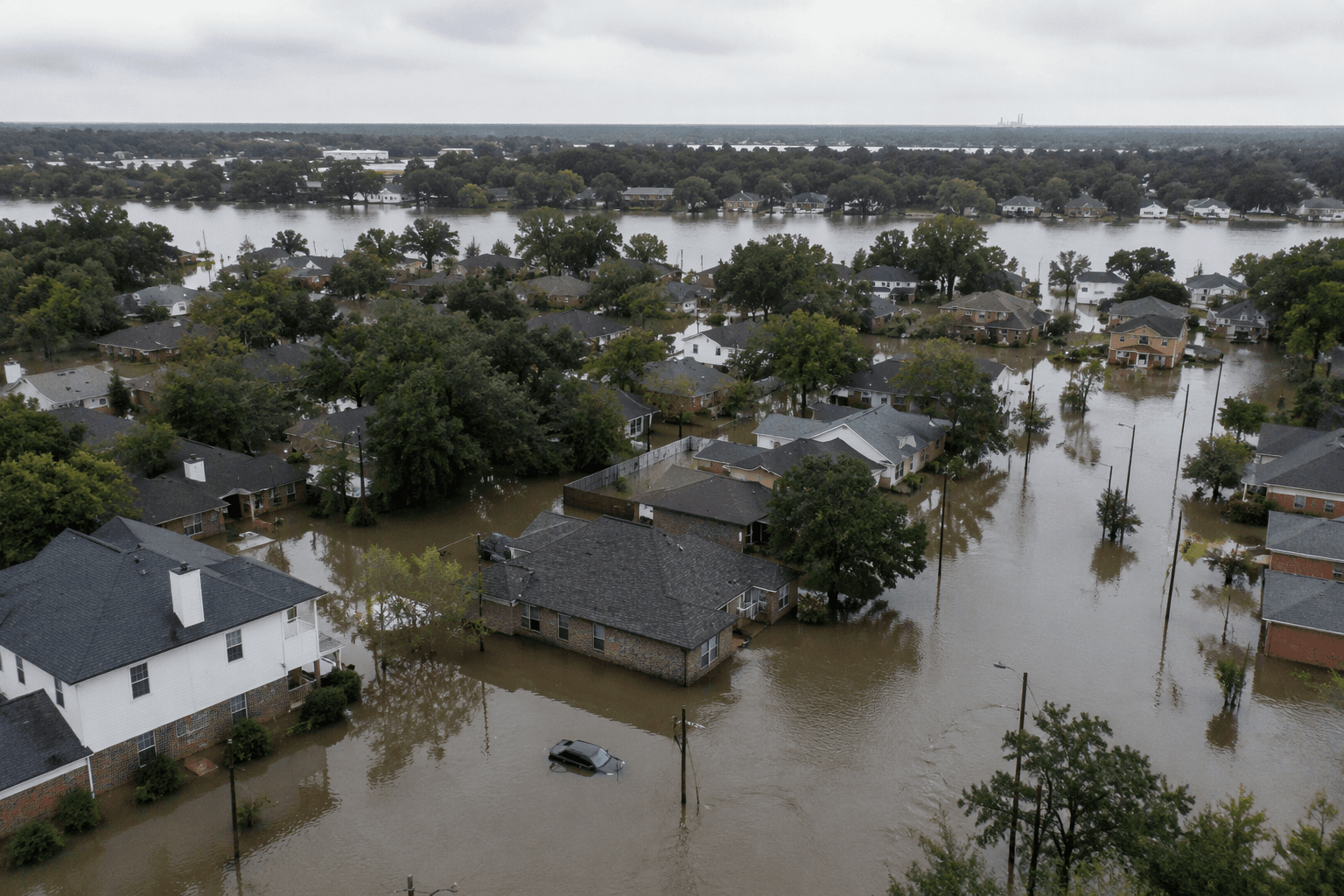
The stakes have already shown up in other map changes. Draft FEMA flood maps released after a nearly four-year delay represent the first broad overhaul of Harris County’s floodplain boundaries since 2007. A separate countywide analysis found the new maps could require flood insurance for about 170,000 more homes. The updated maps could expand the county’s 100-year floodplain by 43%, while nearly 400 Harris County schools could move into higher-risk flood zones. Preliminary Rice University findings in May indicated that Precinct 3 could see more than a 100% increase in homes inside a floodplain under a proposed FEMA map.
Harris County’s flood-control system was created by the Texas Legislature in 1937 and is governed by Harris County Commissioners Court. Today, residents can compare their property against FEMA’s Map Service Center, the Harris County Flood Education Mapping Tool and MAAPnext, the county’s interactive flood-mapping effort with the Harris County Flood Control District. Homeowners who believe a map misses the real risk can also look into FEMA’s map-change process, including the Letter of Map Amendment route that has been used to remove some properties from designated floodplains.
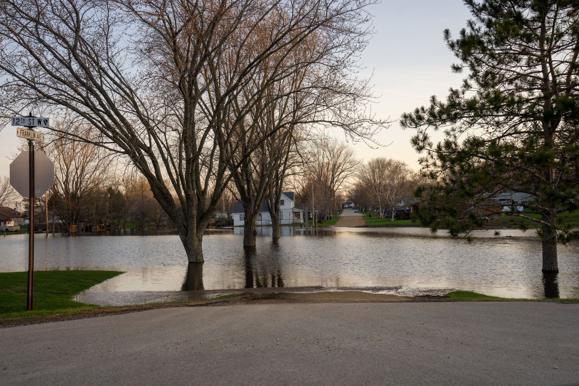
Thousands of Harris County homes have been removed from official floodplains through FEMA appeals, often in newer subdivisions and more affluent areas.
This article was produced by Prism’s automated news system from verified source data, official records, and press releases, then run through automated quality and moderation checks before publishing. The system is built and supervised by the people who set the standards it runs under. Read our full AI policy.
Did this article answer your question?